
Subscribe
Headlines
Hardware
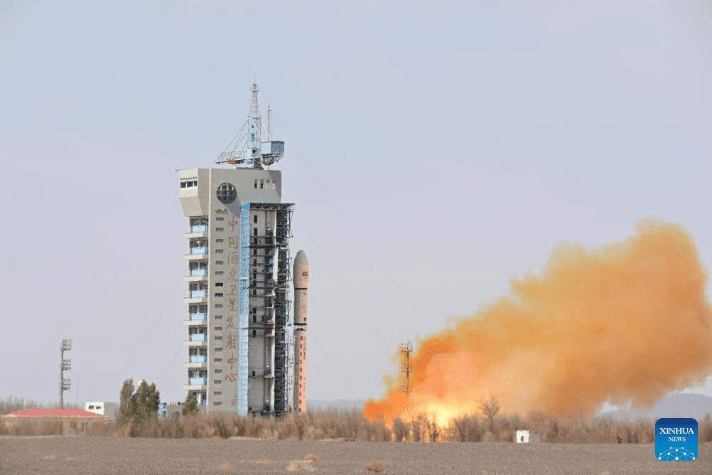
- Canon Electronics Successfully Launches CE-SAT-IE Satellite into OrbitMarch 20, 2024Parul Dubey
Melville, NY - Canon U.S.A., Inc., a leader in digital imaging solutions, is pleased to announce the CE-SAT-IE, micro-satellite developed and manufactured by Canon Electronics, entered orbit and communicated with the ground station installed at Canon Electronics’ Akagi Plant. Based on the data received, it was confirmed that the satellite ...
- Trimble and DroneDeploy Introduce Premier Positioning Accuracy and Streamlined Workflow for Reality Capture from DronesFebruary 13, 2024Parul Dubey
RTX-based cloud positioning service expands project opportunities for drone mapping DENVER – GEO WEEK (Booth# 1001) – Trimble (NASDAQ: TRMB) announced today the integration of the Trimble Applanix POSPac CloudⓇ post-processed kinematic (PPK) GNSS positioning service, featuring CenterPointⓇ RTX, with the drone mapping and data collection capabilities of DroneDeploy’s reality capture platform. With ...
- PABLO AIR Unveils Innovative Versatile Drone 'FB04' at CES 2024January 10, 2024Parul Dubey
Debuts Award-Winning UAM Traffic Management Platform 'UrbanLinkX' at Eureka Park Mayor Oh Se-hoon of Seoul City and CTA President Join in the Innovative Tree Lighting Ceremony at the Eureka Park Inauguration Ceremony First-ever Unveiling of Korea's Only Versatile Drone, Highlighting Precise and Dynamic Performance... Targeting the North American Market SEOUL, South Korea - PABLO ...
- Trimble Completes First Test of Fully Autonomous Soil Compactor on a Live JobsiteNovember 8, 2023Parul Dubey
Trimble has completed its first test of a fully autonomous soil compactor on a live jobsite, taking another important step on the path toward Trimble’s autonomous vision. The Trimble Earthworks Grade Control Platform for Autonomous Compactors on a Dynapac CA 5000 soil compactor was tested on the Site C Clean Energy ...
- Phase One, Quantum Systems and Trimble Unveil Groundbreaking Survey Grade UAV Solution with Phase One P5 Camera LaunchNovember 7, 2023Parul Dubey
LAS VEGAS, NV, USA - Trimble Dimensions -- Phase One, pioneer in medium- and large-format digital cameras and imaging systems proudly announces the next-generation instrument for the modern surveyor in collaboration with Quantum Systems and Trimble. The new state-of-the-art Phase One P5 128-megapixel camera, purpose-built for survey grade applications, has ...
Upcoming Events
There are no upcoming events.
Software
Event Coverage
Corporate News
- Share Post
- Tweet
- Comments Off on Home
